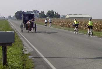
Arthur, Illinois and Illinois Amish Country are located in East central Illinois, about half way North/South and over in the Eastern quarter of the state.
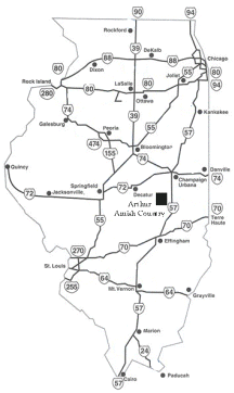 Arthur is on Illinois Route 133, and just 9 miles West of Interstate 57 at Exit 203.
US Route 36 is just 5 miles North of Arthur.
Arthur is located in the center of a triangle formed by three central Illinois communities… Champaign, lies to the Northeast, Mattoon to the Southeast, and Decatur and Springfield to our west
Traveling From:
Chicago to Arthur (2.5 hrs) – Take Interstate 57 South to Exit 203 at Arcola – Follow Route 133 – 7 miles West (right) to Arthur and turn right (north) towards the downtown area.
To Arthur from St. Louis (2.5 hrs.) – Take I-70 East to Effingham – Take I-57 North to Exit 203 at Arcola – Proceed West (left) on Route 133 to Arthur, Illinois and Illinois Amish Country
To Arthur from Indianapolis (2 hrs.) – Take I-70 West to Effingham – Take I-57 North to Exit 203 at Arcola – Proceed West (left) on Route 133 about 9 miles to Arthur Illinois and Amish Country
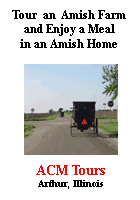
If using GPS you can type in the address of 138 S. Vine , Arthur IL 61911 and that will bring you right into the center of downtown Arthur, IL.